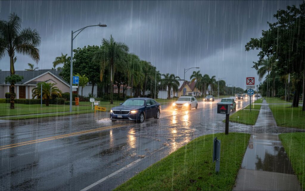
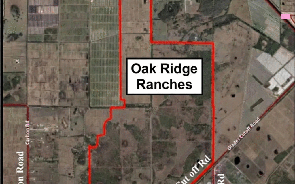
Port St. Lucie flood risk is a growing concern for residents and local authorities, as climate change and urban development increase the likelihood of severe flooding events. About 66% of buildings in Port St. Lucie face significant flood risk, with projections indicating that both the frequency and intensity of flooding will rise in the coming decades.
Port St. Lucie Flood Risk: Current Statistics and Projections
Flooding is a persistent challenge in Port St. Lucie due to its coastal location, low-lying topography, and proximity to water bodies. According to official data, approximately 66% of all buildings in the city are at significant risk of flooding.
Residents living in low-lying areas are especially vulnerable. Projections show a 73% chance that these residents will experience at least one flood event exceeding three feet in depth by 2050. Buildings identified as at-risk have an average 46% chance of facing a flood of about 10 inches deep over a 30-year period.
Annual precipitation in Port St. Lucie is expected to remain near 50.6 inches. However, the proportion of rainfall from intense downpours is increasing, raising the risk of flash flooding and overwhelming drainage systems.
Heat waves are also becoming more common. The number of days with temperatures above 93.5ºF is projected to jump from 7 per year in 1990 to 87 per year by 2050, according to climate projections. This trend can worsen flood conditions by increasing evaporation and altering local weather patterns.
Factors Contributing to Flooding in Port St. Lucie
Port St. Lucie is situated on Florida’s east coast, which exposes it to heavy rainfall, hurricanes, tropical storms, and storm surges. The city’s flat landscape and proximity to rivers and canals further increase its susceptibility to flooding.
Urban development has played a role in intensifying flood risk. The construction of roads, homes, and businesses often disrupts natural water flow and reduces the land’s ability to absorb rainwater. Inadequate drainage infrastructure can lead to water pooling in neighborhoods and streets during storms.
- Low elevation and flat terrain
- Close proximity to rivers, canals, and wetlands
- High frequency of tropical weather systems
- Urban expansion and altered drainage patterns
Climate Change and Intensifying Flood Risk
Climate change is a primary driver behind the increasing flood risk in Port St. Lucie. Experts agree that rising sea levels and more extreme precipitation events are contributing to both inland and coastal flooding.
According to climate projections, the share of rainfall from intense storms is rising, even as total annual precipitation remains steady. This shift increases the likelihood of flash floods, especially in areas with limited drainage capacity.
Sea level rise is another concern, as it can lead to higher storm surges and more frequent tidal flooding. The combination of these factors means that flood events are expected to become more common and severe in the coming decades.
Local Flood Control Measures and Community Response
Local authorities in Port St. Lucie have taken steps to address the growing flood risk. Efforts include upgrading drainage systems, constructing levees, and maintaining natural barriers such as wetlands to absorb excess water.
The city participates in flood risk reduction programs and works with state and federal agencies to secure funding for infrastructure improvements. Ongoing maintenance of canals, stormwater pumps, and retention ponds is a priority for reducing the impact of heavy rainfall events.
Residents are encouraged to check their flood zone status, maintain flood insurance, and follow local guidelines for flood protection. Community outreach programs provide information on emergency preparedness and steps homeowners can take to reduce their vulnerability.
- Improved stormwater drainage systems
- Levee construction and maintenance
- Preservation of wetlands and natural buffers
- Public education on flood preparedness
Impact of Flooding on Port St. Lucie
Flooding can disrupt infrastructure, damage homes and businesses, and affect the local economy. Roads may become impassable, utilities can be interrupted, and property values may be impacted by repeated flood events.
While Port St. Lucie’s overall flood risk is considered moderate compared to some other U.S. cities, the potential for severe events remains high due to its location and climate. Local officials stress the importance of ongoing adaptation and preparedness to protect residents and property.
Community organizations, government agencies, and property owners all play a role in effective flood mitigation. Coordinated efforts are needed to address both immediate risks and long-term challenges posed by climate change.
Frequently Asked Questions About Port St. Lucie Flood Risk
What is the current flood risk in Port St. Lucie?
About 66% of buildings in Port St. Lucie are at significant risk of flooding, with many low-lying areas facing a high chance of flood events by 2050. The city is vulnerable due to its coastal location and flat terrain.
How much rainfall does Port St. Lucie receive each year?
Port St. Lucie receives around 50.6 inches of rain annually. However, more of this rain is coming from intense storms, which increases the risk of flash flooding.
Are there flood control measures in place in Port St. Lucie?
Yes, local authorities have improved drainage systems, built levees, and protect wetlands to help manage floodwaters. The city also participates in flood risk reduction programs and encourages residents to stay prepared.
Can you reduce your flood risk as a resident of Port St. Lucie?
Residents can check their flood zone status, maintain flood insurance, and follow local guidelines for flood protection. Keeping drainage areas clear and staying informed about emergency plans can also help reduce risk.
Where are the highest risk areas for flooding in Port St. Lucie?
Low-lying neighborhoods near rivers, canals, and wetlands are most at risk. These areas have a higher chance of experiencing deep or frequent flooding, especially during heavy rain or storm events.
