Port St. Lucie November weather brings mild temperatures, lower rainfall, and the start of South Florida’s dry season. Residents and visitors can expect comfortable days, occasional showers, and mostly sunny skies throughout the month.
Port St. Lucie November Weather Patterns
November in Port St. Lucie marks a shift from the wetter summer months to a drier, more stable climate. According to the National Weather Service, average temperatures range from 69°F to 79°F (21°C to 26°C) during this period. Humidity stays around 80%, but the air often feels less oppressive compared to peak summer.
Rainfall totals for November average between 2.5 and 3 inches (about 65–75 mm). Most rain falls over just 2 to 4 days, leaving the majority of the month dry and suitable for outdoor activities. Daily sunshine typically lasts 8 to 11 hours, contributing to pleasant conditions across the city.
Rainfall Trends and Record Events in November
Port St. Lucie’s climate is classified as humid subtropical. November is generally the beginning of the dry season in South Florida, with significantly less rainfall than in summer or early fall. However, record rainfall events can still occur. On rare occasions, daily rainfall in November has exceeded 6 inches, according to official weather records.
Despite these rare extremes, most Novembers are free from severe weather. The Atlantic hurricane season officially ends on November 30, but tropical systems are uncommon this late in the year. The risk of major flooding or severe storms is generally low.
Current November 2025 Forecast for Port St. Lucie
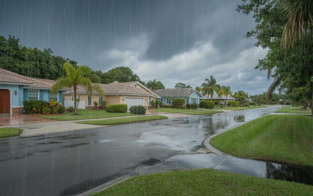
Recent forecasts for November 2025 indicate a few days of moderate to heavy rain, especially during the first week. According to meteorologists, most days will remain dry, though isolated rain showers or brief storms may develop at times. No major flooding or severe weather alerts have been issued for Port St. Lucie as of early November.
Local authorities advise that while widespread flooding is not expected, localized heavy rain could cause temporary minor flooding in low-lying neighborhoods. Residents are encouraged to monitor updates from the National Weather Service and St. Lucie County Emergency Management for any changes in conditions.
Expert Insights on November Weather in Port St. Lucie
Meteorologists highlight that while November is typically drier, occasional rain events are not unusual. These can be triggered by passing cold fronts or lingering tropical moisture. Experts recommend staying aware of local forecasts, as weather patterns can shift quickly, especially with the possibility of late-season tropical disturbances.
Flooding risks are generally low in November. However, brief but intense downpours can still lead to short-term urban flooding. Residents in flood-prone areas should remain cautious during periods of moderate to heavy rain.
Infrastructure and Community Preparedness
Port St. Lucie’s infrastructure is designed to manage typical November rainfall. Water management systems across the city help reduce the risk of flooding during moderate rain events. According to city officials, drainage improvements and regular maintenance support effective water flow throughout the region.
Extreme rainfall events, while rare in November, can still challenge drainage systems in some neighborhoods. Residents in areas with a history of flooding are advised to stay informed and take precautions during heavy rain periods.
Outdoor Activities and Weather Planning
With mostly dry days and comfortable temperatures, November is a favorable month for outdoor recreation in Port St. Lucie. Parks, golf courses, and nature trails are popular destinations during this time. However, brief rain showers or isolated storms can occur, so planning should include checking daily weather forecasts.
- Average temperatures: 69°F to 79°F
- Rainfall: 2.5 to 3 inches for the month
- Humidity: Around 80%
- Sunshine: 8 to 11 hours per day
- Rainy days: 2 to 4 days in November
City officials recommend that residents and visitors remain weather-aware and adjust outdoor plans if rain is expected.
Frequently Asked Questions About Port St. Lucie November Weather
What is the average temperature in Port St. Lucie during November?
The average temperature in Port St. Lucie in November ranges from 69°F to 79°F. This makes for mild and comfortable weather throughout the month.
How much rain does Port St. Lucie get in November?
Port St. Lucie typically receives between 2.5 and 3 inches of rain during November. Most of this rain falls over just a few days.
Are severe storms common in Port St. Lucie in November?
Severe storms are uncommon in Port St. Lucie during November. However, brief heavy rain can still happen, especially if a cold front or tropical system moves through.
Can you expect sunny days in Port St. Lucie in November?
Most days in November are sunny, with 8 to 11 hours of sunshine each day. Only a few days have rain or clouds.
Where are the flood-prone areas in Port St. Lucie during November?
Flood-prone areas are usually in low-lying neighborhoods or places with poor drainage. Residents in these areas should watch for updates during periods of heavy rain.

