
Wet pattern persists this weekend as coastal hazards continue to impact South Florida, with scattered showers, thunderstorms, and elevated flood risk expected through Sunday, according to the latest forecast from the National Weather Service.
Wet Pattern Persists Across South Florida
This weekend, a wet pattern persists across South Florida, with meteorologists forecasting unsettled weather conditions and increased rainfall chances. The main weather system involves two areas of low pressure—one located in the Gulf of Mexico and another near the Bahamas. According to the National Weather Service, these systems are creating a squeeze play, funneling moisture into the region and supporting the development of afternoon storms.
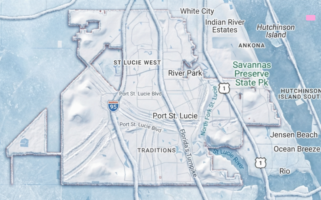
High humidity levels and breezy east to northeast winds are expected to continue, keeping the atmosphere primed for scattered showers and thunderstorms. Despite the potential for rain, forecasters say that drier air in the upper atmosphere may limit the intensity and coverage of storms, especially during the early part of the weekend. For a more detailed breakdown, see the 7-day weather forecast for Port St. Lucie.
Rainfall Outlook and Flooding Risk
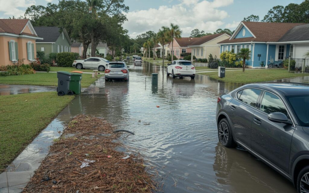
Forecasters report that the rainfall outlook for South Florida remains uncertain, with model guidance suggesting a 50–60% chance of precipitation each day. Most areas are likely to receive between 1 and 2 inches of rain, with isolated locations—especially along the east coast—at risk for localized flooding. Urban and low-lying areas remain particularly vulnerable, according to the National Weather Service.
Sunday could bring heavier rainfall, depending on the evolution of the low-pressure system near the Bahamas. If this system remains weak and slow-moving, it could allow additional moisture to accumulate over the region, increasing the risk of widespread showers and storms. For those planning ahead, the weekly weather outlook for Port St. Lucie provides further insights into upcoming trends.
Key Rainfall and Flooding Details
- Rain chances: 50–60% through Sunday
- Expected rainfall: 1–2 inches for most areas
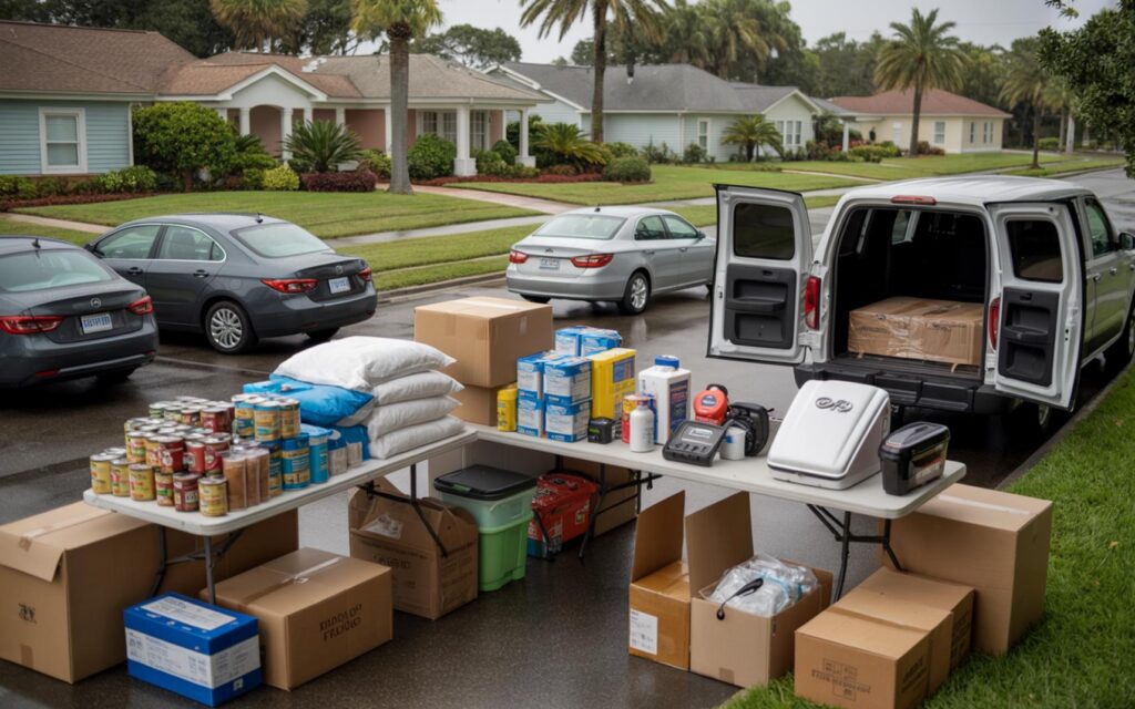
- Flood risk: Localized flooding possible in urban and low-lying zones
- Heaviest rain: Potential along the east coast and during high tide cycles
Marine and Coastal Hazards Continue
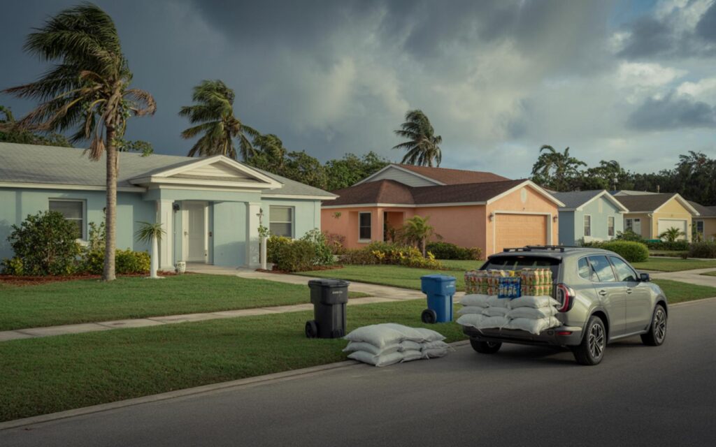
Marine and coastal hazards continue this weekend due to persistent onshore winds and elevated swell. According to the National Weather Service, dangerous beach and marine conditions are expected, with minor to moderate coastal flooding likely, especially during high tide cycles as the region approaches the peak of the King Tide.
Officials advise boaters and beachgoers to exercise caution, as rough surf, strong rip currents, and minor coastal flooding may persist into early next week. Conditions are expected to gradually improve as winds subside and high pressure builds over the eastern United States. If you’re interested in how changing air masses may affect local temperatures, check out how warmer weather arrives before another cold front hits this weekend.
Coastal Hazard Highlights
- Rip currents: Strong and persistent along Atlantic Ocean beaches
- Coastal flooding: Minor to moderate, especially during high tide
- Marine conditions: Rough seas and elevated swell through the weekend
- King Tide: Peak expected early next week
Atmospheric Setup: Moisture and Winds
The current atmospheric setup involves a combination of low-pressure systems and a high-pressure area over the Atlantic. This pattern is producing breezy east to northeast winds, which are helping to maintain high humidity and funnel moisture into South Florida. According to meteorologists, these ingredients are supporting the development of afternoon thunderstorms, though drier air aloft is limiting their severity.
Forecast models indicate that a shift in wind direction from the south could increase moisture levels and potentially lead to more widespread rainfall. The timing of this shift remains uncertain, which contributes to the variability in rainfall forecasts for the weekend.
Temperature Trends and Humidity Levels
Daytime high temperatures are forecast to reach the upper 80s to low 90s across South Florida, with the warmest conditions likely in southwest areas. Overnight lows will range from the low to mid 70s inland to the upper 70s along the coast, according to the National Weather Service.
Humidity levels will remain elevated, contributing to the muggy conditions and increasing the potential for afternoon thunderstorms. Residents should be prepared for brief periods of heavy rain and rapidly changing weather conditions throughout the weekend.
Looking Ahead: Return to Typical October Weather?
As the weekend concludes, high pressure is forecast to build over the eastern United States, which could bring a return to more typical early October weather for South Florida. This pattern would feature easterly winds, scattered afternoon storms, and drier mornings. Some forecast models are also hinting at the possibility of the season’s first cold front arriving late next week, though confidence remains low at this time.
High temperatures are expected to remain in the low to mid 90s through midweek, with a slight dip into the mid to upper 80s by Friday. Overnight lows will continue to range from the low 70s inland to the upper 70s along the coast.
Frequently Asked Questions About Wet Pattern Persists This Weekend
What does it mean when a wet pattern persists this weekend?
When a wet pattern persists this weekend, it means that the region will experience repeated periods of rain and thunderstorms over several days. This pattern can increase the risk of flooding and create unsettled weather conditions.
How much rain is expected in South Florida this weekend?
According to the National Weather Service, most areas in South Florida are likely to see 1–2 inches of rain through Sunday. Some locations, especially along the east coast, could see higher amounts and localized flooding.
Are there coastal hazards during this wet pattern?
Yes, coastal hazards continue this weekend due to persistent onshore winds and swell. These include strong rip currents, rough surf, and minor to moderate coastal flooding, especially during high tide cycles.
Can you expect flooding in urban areas this weekend?
Localized flooding is possible in urban and low-lying areas, particularly if heavy rain coincides with high tide. Residents should monitor local alerts and be prepared for changing conditions.
Where are the most significant impacts expected from the wet pattern?
The most significant impacts are expected along the east coast of South Florida, where rainfall totals may be higher and coastal flooding is more likely. Marine and beach conditions will also be hazardous throughout the weekend.
Port St Lucie Talks