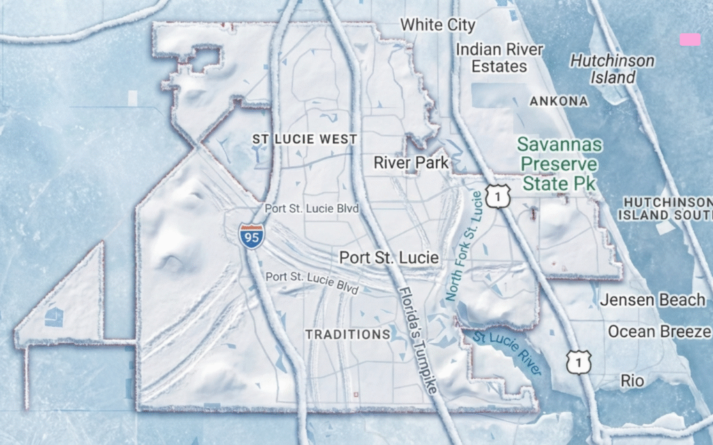

PTC 9, a developing tropical system near the northern coast of Cuba, is expected to bring heavy rainfall and a risk of urban flooding to South Florida as it moves through the Bahamas this weekend. According to the National Hurricane Center, PTC 9 could reach tropical storm strength and may be named Imelda as it tracks northward, potentially impacting weather conditions along the southeastern U.S. coast.
PTC 9: Potential Tropical Cyclone 9 and Its Forecast Path
The National Hurricane Center has designated the system as Potential Tropical Cyclone 9 (PTC 9) due to its likelihood of affecting land and the need for early alerts. As of Friday, PTC 9’s maximum sustained winds are near 35 mph, with forecasts indicating strengthening to at least 40 mph by Saturday night or Sunday morning. Tropical Storm Watches and Warnings have been issued for parts of the Bahamas and the southeastern U.S. coastline.
PTC 9 originated as Invest 94L and is being closely monitored for signs of intensification and possible landfall impacts. According to the National Hurricane Center, the system is expected to stall briefly near the Bahamas before turning northward, likely remaining offshore and away from direct landfall in South Florida.
Weather Impacts for South Florida
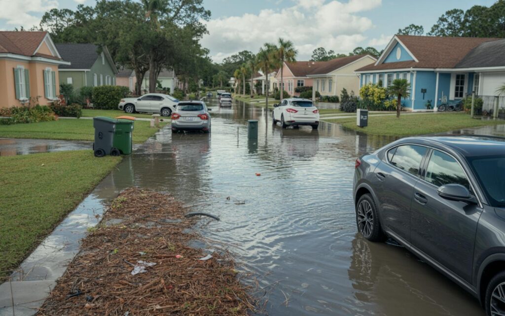
South Florida is forecast to experience unsettled weather as PTC 9 approaches. Rainfall totals over the next 72 hours are expected to reach 3–5 inches, with some localized areas possibly seeing 1–4 inches this weekend. Scattered afternoon and early evening storms are likely, with daytime highs in the upper 80s to low 90s and overnight lows in the 70s.
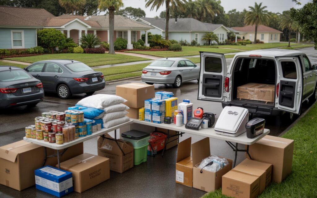
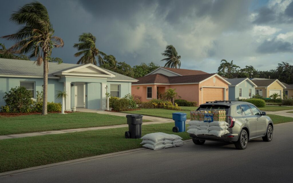
The National Weather Service warns that heavy rainfall and gusty winds are the main concerns for the region, especially along the east coast metro areas. Urban flooding is possible in neighborhoods with poor drainage due to slow-moving, sea breeze-driven storms. Emergency preparations are underway in parts of the Southeast, including the deployment of stormwater pumps and the lowering of lake levels in some cities.
Current Watches and Warnings
- Tropical Storm Watches are in effect for portions of the Bahamas.
- Tropical Storm Warnings have been issued for select areas along the southeastern U.S. coast.
- South Florida remains under a flood risk advisory due to expected rainfall totals.
Understanding Potential Tropical Cyclones
The National Hurricane Center uses the term Potential Tropical Cyclone for systems that are not yet named storms but are likely to impact land and require early warnings. This designation allows officials to issue watches and warnings in advance, even if the system has not reached tropical storm status.
PTC 9 is being monitored closely for signs of intensification. NOAA Hurricane Hunters have conducted reconnaissance flights to gather data and improve forecast accuracy. Experts caution that forecasts for newly developing systems can be subject to significant errors and may change rapidly.
Forecast Model Consensus and Uncertainties
Forecast models generally indicate that PTC 9 will track north, paralleling the Florida coast. However, future movement could shift toward the Carolinas or out to sea. The primary threat for South Florida remains heavy rain and localized flooding, rather than direct hurricane-force impacts.
According to meteorologists, the region is currently experiencing a meteorological squeeze between a shortwave trough and the tropical system. This pattern is leading to weak steering winds and unsettled weather throughout the area.
Emergency Response and Preparations
Local authorities and emergency management agencies in the Southeast are taking steps to prepare for potential impacts from PTC 9. Measures include:
- Deploying stormwater pumps in flood-prone areas
- Lowering lake and canal levels to increase water storage
- Monitoring drainage infrastructure for blockages
- Coordinating with the National Weather Service for updated forecasts
Officials emphasize the importance of timely evacuation planning and urge residents to monitor official updates as the situation develops. Details may be updated as investigation continues and new data becomes available.
Recent Trends in the Atlantic Hurricane Season
The 2025 Atlantic hurricane season has been active, with multiple systems developing and affecting the region. PTC 9 is the latest in a series of disturbances that have brought heavy rain and wind to parts of Florida and the Southeast.
After PTC 9 moves away, drier air is expected to reduce rain chances in South Florida early next week, with only isolated afternoon storms forecast. Temperatures are expected to remain warm, with highs in the low 90s early in the week and dipping to the mid to upper 80s by Friday. Forecast models suggest another weather system could develop over the Southeast and Gulf late next week, but confidence in this outlook is currently low.
Frequently Asked Questions About PTC 9
What is PTC 9 and how does it affect South Florida?
PTC 9 is a potential tropical cyclone near Cuba, forecast to become a tropical storm as it moves through the Bahamas. It is expected to bring heavy rain and a risk of flooding to South Florida, especially along the east coast.
How much rain could South Florida receive from PTC 9?
Forecasts indicate South Florida may receive 3–5 inches of rain over the next 72 hours, with some areas possibly seeing 1–4 inches this weekend. Localized flooding is possible in areas with poor drainage.
Are there tropical storm warnings in effect for South Florida?
Tropical Storm Watches and Warnings are currently in effect for parts of the Bahamas and the southeastern U.S. coast. South Florida is under a flood risk advisory but not a direct tropical storm warning as of the latest update.
Can you expect hurricane-force winds from PTC 9 in PSL?
According to the National Hurricane Center, hurricane-force winds are not expected in Port St. Lucie from PTC 9. The primary concern is heavy rainfall and gusty winds, not direct hurricane impacts.
Where are the main impacts of PTC 9 expected?
The main impacts are forecast for the Bahamas and coastal areas of the Southeast U.S. South Florida, including PSL, is expected to see rain and possible flooding, while direct landfall is unlikely at this time.