Port St. Lucie storms, flooding, and lightning risks are increasing, placing much of the community at significant hazard due to its coastal location and changing climate patterns. These threats affect thousands of buildings, residents, and local infrastructure, making preparedness and mitigation critical for the area.
Storms, Flooding, and Lightning Risks in Port St. Lucie
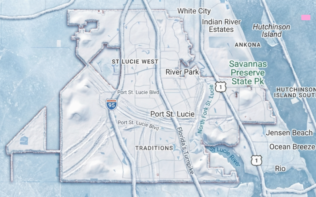
Port St. Lucie faces a high risk of storms, flooding, and lightning, according to multiple official sources. The city’s position on Florida’s southeast coast exposes it to Atlantic hurricanes, tropical storms, and frequent thunderstorms. Local authorities and federal agencies have identified the area as one of the most vulnerable communities in the state for weather-related hazards.
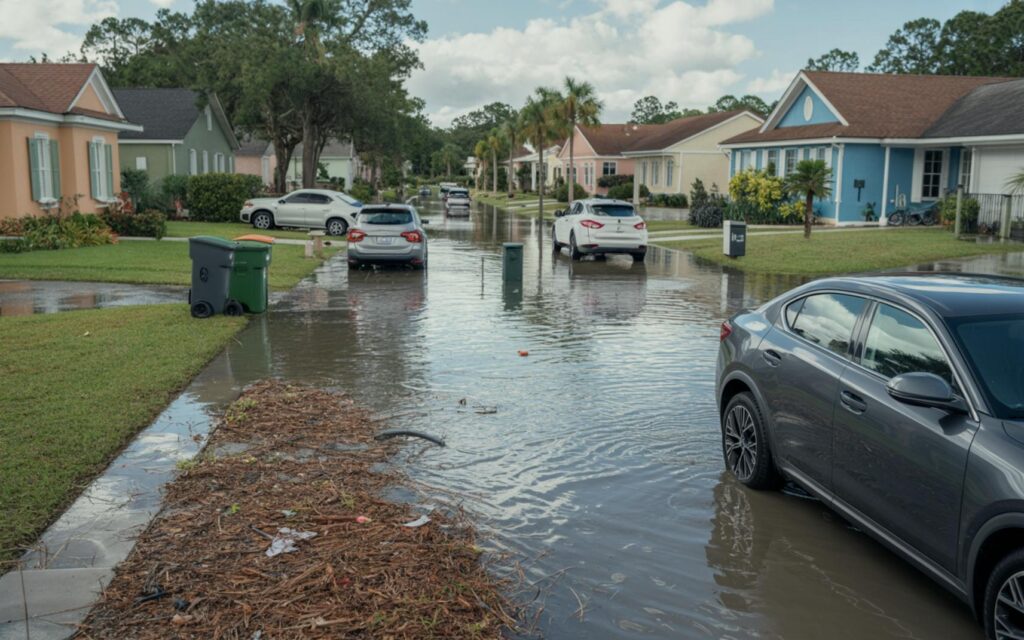
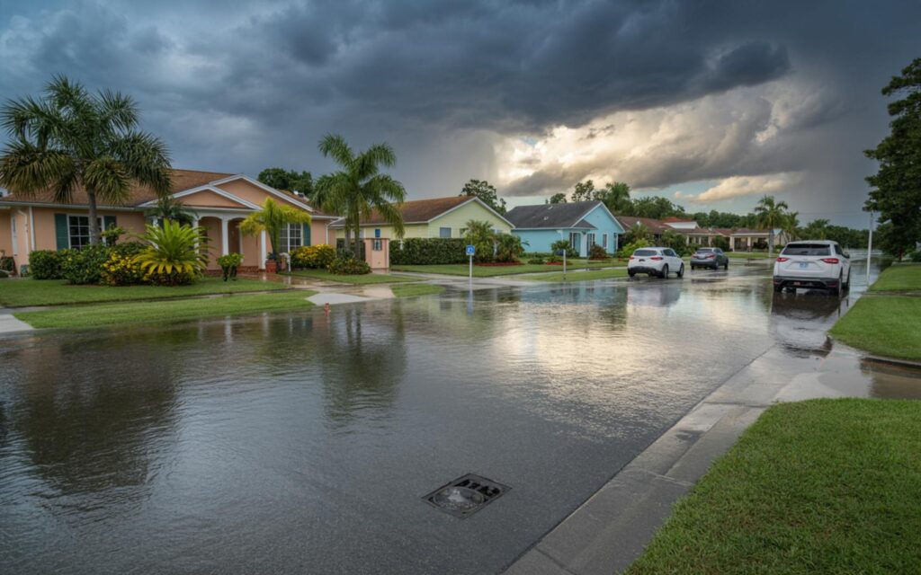
Recent data shows that about 66% of buildings in Port St. Lucie are at significant risk of flooding. These structures have an average 46% chance of experiencing a flood of about 10 inches deep over a 30-year period. The risk is not limited to coastal properties, as riverine and surface flooding also threaten inland areas.
Key Flooding and Storm Statistics for Port St. Lucie
- 66% of buildings are at significant risk of flooding.
- Buildings at risk face a 46% chance of a 10-inch flood over 30 years.
- 69 out of 86 census tracts have more than half of buildings at significant flood risk.
- The city receives an average of 50.6 inches of annual precipitation.
- There have been 27 natural disasters in 20 years in St. Lucie County, most being hurricanes.
- Storm event risk is rated very high, at nearly 68%.
- About 270 residents live below 3 feet elevation, facing a 73% chance of at least one flood over 3 feet by 2050.
- Just one inch of water can cause property damage estimated at $25,000 per home.
Storm Surge, High Tide Flooding, and Lightning Hazards
High tide flooding and storm surge are increasing threats for Port St. Lucie, especially during hurricanes and extreme weather events. According to official flood maps, the region includes high-risk flood zones (A and V) with a 1% annual chance of flooding, and moderate-risk zones with a 0.2% annual chance.
Sea level rise is expected to make flooding more frequent and prolonged. Projections indicate that by 2050, low-lying areas will face more days of flooding, especially during high tides and major storms. The area’s geography, with proximity to rivers, wetlands, and the Atlantic coast, increases sensitivity to both inland and coastal flooding.
Lightning is another common hazard in Port St. Lucie. Florida experiences frequent thunderstorms during the wet season, resulting in risks to people, property, and utilities. Local authorities emphasize the importance of lightning safety and preparedness.
Recent Storm Events and Local Impact
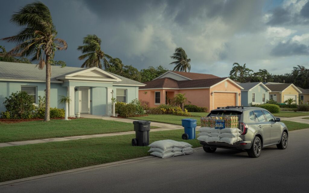
Port St. Lucie has experienced several major storms in recent years. Hurricane Nicole in 2022 and Hurricane Milton in 2024 brought elevated rainfall, storm surge, and extensive flooding to the area. According to official reports, flooding from these storms affected both coastal and inland neighborhoods, causing river rises and infrastructure damage.
The frequency and intensity of extreme weather events are projected to increase due to climate change. Local authorities report that more days of extreme heat and heavier rainfall events are expected by 2050, raising the risk of future flooding and storm damage.
Climate Change and Increased Flooding Risk
Experts agree that climate change is amplifying the risks of storms, flooding, and lightning in Port St. Lucie. Rising sea levels, higher temperatures, and more intense precipitation patterns are making weather events more severe and frequent. Coastal and low-lying areas are especially vulnerable to these changes.
Extreme rainfall events are becoming more common, with a greater share of annual precipitation falling during intense downpours. This trend increases the risk of flash floods and property damage throughout the city.
Preparedness, Mitigation, and Community Response
Local authorities are using advanced mapping tools and flood exposure models to assess and communicate risks. These resources help guide decisions on mitigation and adaptation strategies, such as improved drainage systems, flood barriers, and resilient infrastructure.
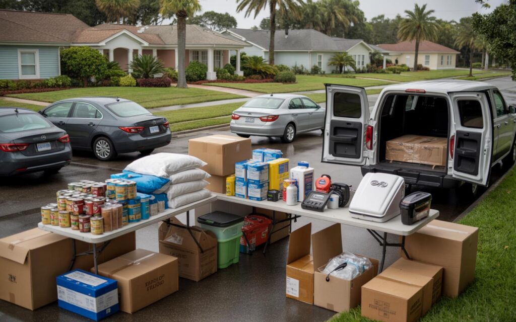
Preparedness and mitigation are essential to reduce future impacts. Officials recommend that residents stay informed about flood risks, maintain adequate insurance, and implement property-level measures to reduce damage. Zoning, insurance requirements, and community planning are increasingly important as the economic and social costs of flooding rise.
Population Growth and Increased Exposure
Port St. Lucie’s rapid population growth and development have increased the number of people and properties exposed to storms and flood hazards. New construction in high-risk areas adds to the community’s vulnerability, making risk assessment and mitigation efforts even more critical.
Residents are encouraged to take proactive steps, such as elevating utilities, installing sump pumps, and preparing emergency plans. Local authorities continue to update flood maps and communicate with the public about evolving risks.
Frequently Asked Questions About Port St. Lucie Storms, Flooding, and Lightning Risks
What is the risk of flooding in Port St. Lucie?
About 66% of buildings in Port St. Lucie are at significant risk of flooding. Many areas face a high chance of floods from storms, heavy rain, and storm surge.
How much damage can storms and flooding cause in PSL?
Even one inch of water can cause about $25,000 in property damage per home. Larger floods can lead to much higher repair costs and affect many residents.
Are lightning strikes common in Port St. Lucie?
Lightning is frequent in Port St. Lucie, especially during the wet season. Thunderstorms can cause power outages, property damage, and injuries.
Can you reduce flood risk for your home in Port St. Lucie?
Homeowners can lower flood risk by using flood barriers, improving drainage, and keeping insurance up to date. Local officials also recommend staying informed about flood warnings and preparing emergency plans.
Where are the highest risk areas for storms and flooding in PSL?
Coastal and low-lying neighborhoods, especially those near rivers and wetlands, face the highest risk. Many census tracts in Port St. Lucie have more than half of buildings at significant flood risk.